Mixed Age Year 3 and 4 Mass, Capacity and Coordinates Step 10 Resource Pack
Step 10: Mixed Age Year 3 and 4 Mass, Capacity and Coordinates Resource Pack
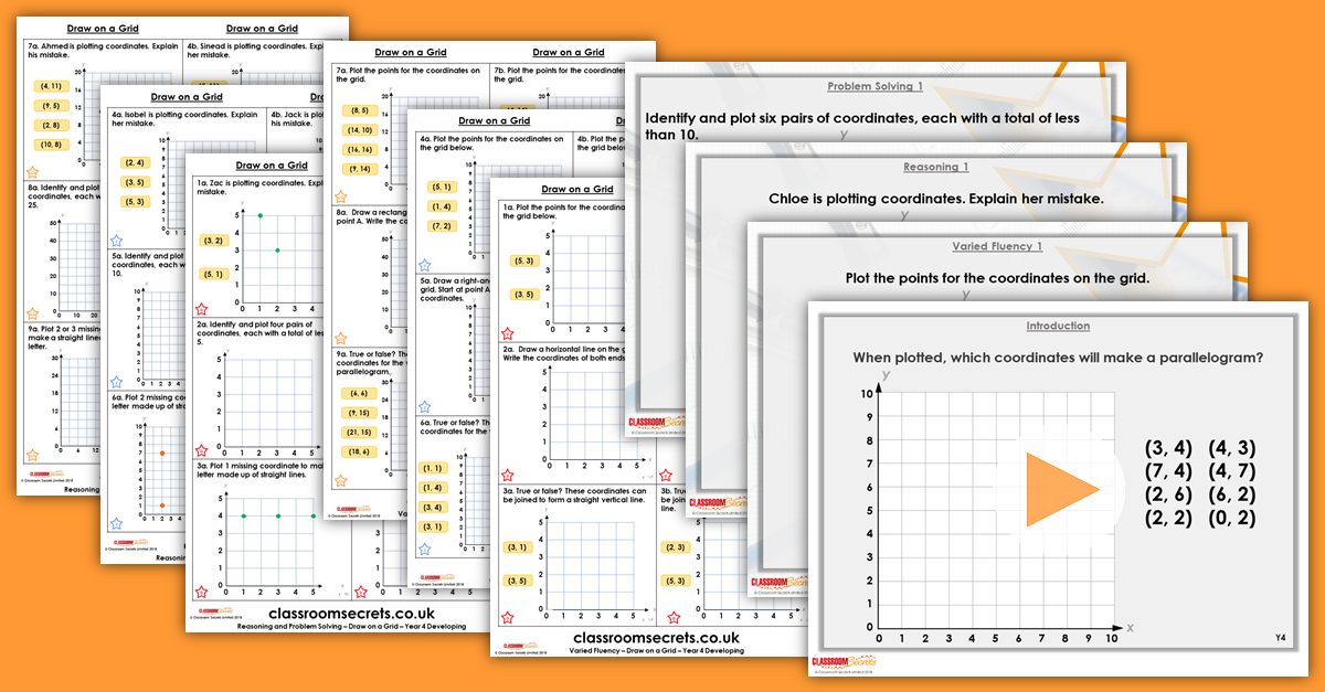
Mixed Age Year 3 and 4 Mass, Capacity and Coordinates Step 10 Resource Pack includes a teaching PowerPoint and differentiated varied fluency and reasoning and problem solving resources for this step which covers Year 4 Draw on a Grid for Summer Block 5.


Not a member? Sign up here.
What's included in the Pack?
This Mixed Age Year 3 and 4 Mass, Capacity and Coordinates Step 10 pack includes:
- Mixed Age Year 3 and 4 Mass, Capacity and Coordinates Step 10 Teaching PowerPoint with examples.
- Year 3 Draw on a Grid Varied Fluency with answers.
- Year 3 Draw on a Grid Reasoning and Problem Solving with answers.
National Curriculum Objectives
Mathematics Year 4 : (4P3b) Plot specified points and draw sides to complete a given polygon
Differentiation for Year 3 Draw on a Grid:
Varied Fluency
Developing Questions to support plotting coordinates in the first quadrant. Using up to 4 points, all points plotted on a 5x5 grid, using 1:1 scale, including plotting points to create squares and rectangles.
Expected Questions to support plotting coordinates in the first quadrant. Using up to 6 points, all points plotted on a 10x10 grid, using 1:1 scale, including plotting points to create squares, rectangles and right-angled triangles.
Greater Depth Questions to support plotting coordinates in the first quadrant. Using up to 6 points, all points plotted on a 10x10 grid, using varying scales with some points plotted between increments, including plotting points to create rectangles, right-angled triangles, parallelograms, pentagons and hexagons.
Reasoning and Problem Solving
Questions 1, 4 and 7 (Reasoning)
Developing Explain a mistake in plotting coordinates. Using up to 4 points, all points plotted on a 5x5 grid, using 1:1 scale.
Expected Explain a mistake in plotting coordinates. Using up to 6 points, all points plotted on a 10x10 grid, using 1:1 scale.
Greater Depth Explain a mistake in plotting coordinates. Using up to 6 points, all points plotted on a 10x10 grid, using varying scales with some points plotted between increments.
Questions 2, 5 and 8 (Problem Solving)
Developing Explain a mistake in plotting coordinates. Using up to 6 points, all points plotted on a 10x10 grid, using varying scales with some points plotted between increments.
Expected Find six possibilities of a pair of coordinates with given parameters. Using up to 6 points, all points plotted on a 10x10 grid, using 1:1 scale.
Greater Depth Find six possibilities of a pair of coordinates with given parameters. Using up to 6 points, all points plotted on a 10x10 grid, using varying scales with some points plotted between increments.
Questions 3, 6 and 9 (Problem Solving)
Developing Plot one missing coordinate to make a simple letter made up of two straight lines. Using up to 4 points, all points plotted on a 5x5 grid, using 1:1 scale.
Expected Plot two missing coordinates to make letters made up of straight lines. Using up to 6 points, all points plotted on a 10x10 grid, using 1:1 scale.
Greater Depth Plot two or three missing coordinates to make squared versions of curved letters. Using up to 6 points, all points plotted on a 10x10 grid, using varying scales with some points plotted between increments.
This resource is available to download with a Premium subscription.